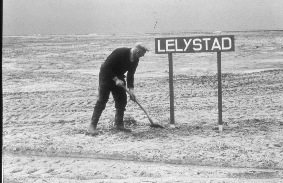

Flevoland’s history is unique. Where else can you find a region that 100 years ago was still entirely submerged, the former Zuiderzee. Flevoland is the world’s largest land reclamation project.
Flevoland did not create itself out of nothing. Where Flevoland is now, there was water once. With some islands here and there, in the midst of what was then called the Zuiderzee. Like Wieringen, for example, Marken, Schokland, Urk. Dry land in the midst of all that water. The inhabitants of these islands knew: The sea gives, and the sea takes. When the latter occurred, damage often was not limited to the ships at sea alone. Also the land was severely hit then.
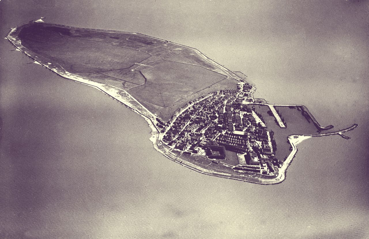
For centuries, water dominated our life. But in the 17th century we turned the tables. Water works engineers then began to look with eager eyes at what was called the Zuiderzee. Hendric Stevin, an engineer for water works, came up with the idea to tame the Zuiderzee. His idea was to create a dyke stretching from the top of Northern Holland along the islands of the Wadden Sea to the sea dykes at Groningen. A revolutionary idea....

It was not before the 19the century that plans were presented which were also considered feasible from the technical and economic side. One association played a crucial key role in this: The Zuiderzee Association. It was this association who ordered a revision to be done, of the assumptions originally made by the engineers Van der Toorn and Lely. Scope of that revision was to determine the actual value of these assumptions. The results were made available to the public.
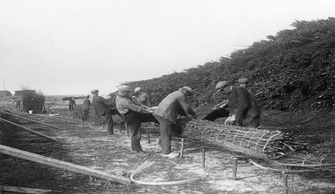
Public interest for the plans jumped to an unprecedented high when a water catastrophe hit the land in 1916 creating severe devastation. It was an event smartly used by the Zuiderzee association then… with success. On 14 June 1918, the Zuiderzee law (a law regulating the closure and drainage of the Zuiderzee) came into effect...
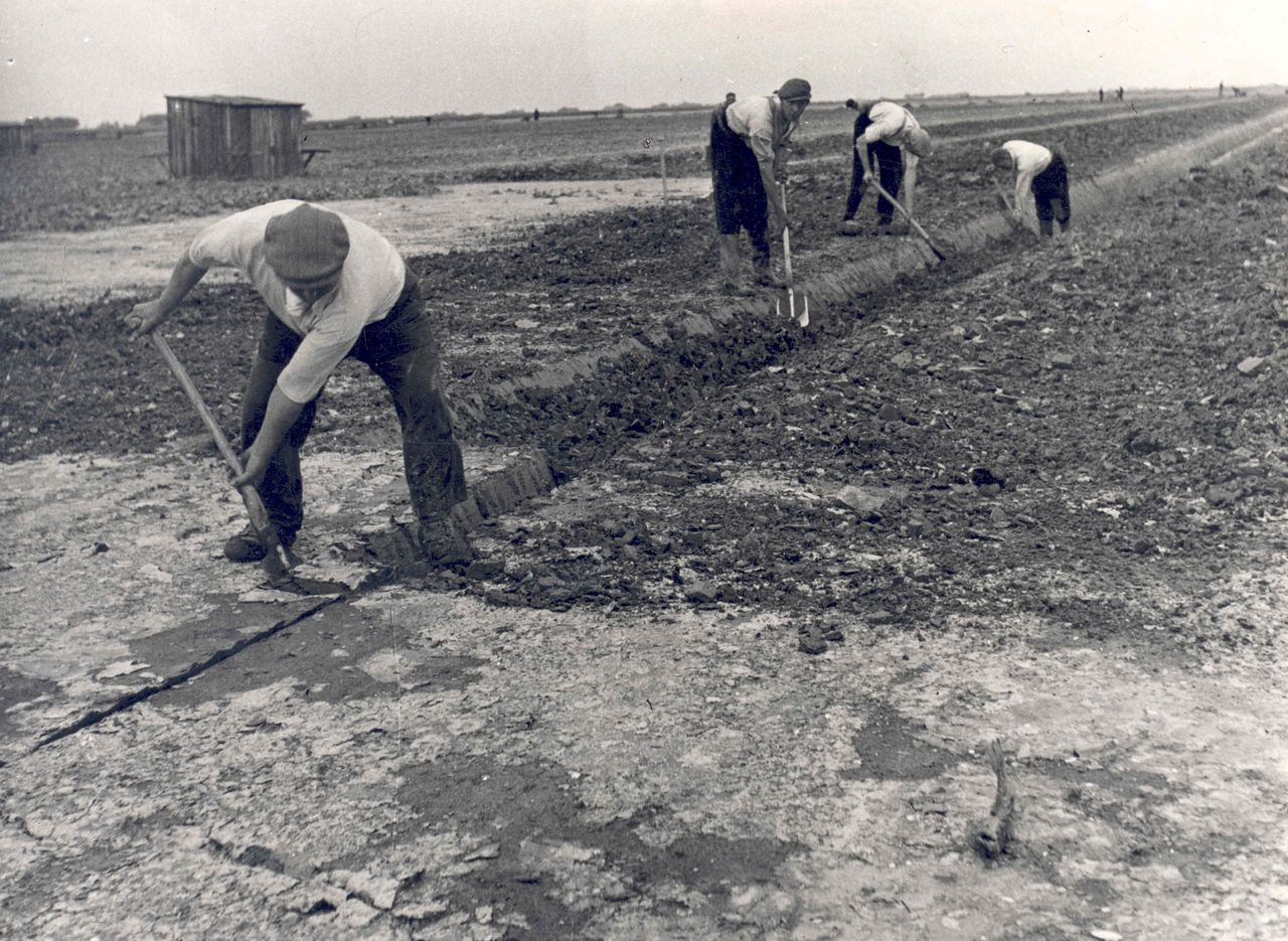
The impoldering started in 1924 with the closure of the Amsteldiep dyke connecting the mainland of Northern Holland with the island of Wieringen. This dyke was 2,5 kilometres (1.5 mi) long. Next came the Afsluitdijk ('closure dyke') which connected Wieringen to the Frisian mainland. It appeared an almost impossible enterprise: A dyke had to be created in the middle of the sea. But by 1932 this had been accomplished and therewith, the IJsselmeer was created.
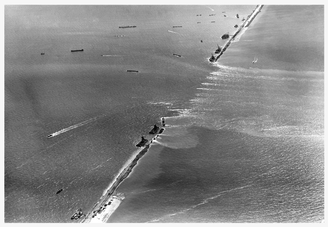
At the place where once the dyke was closed there is a monument today, with a writing on it that says: "A nation that lives builds its future". Piece by piece the area was drained. The north-eastern polder was meant to be the first polder of the IJsselmeer. On 3 October 1939, the mayors Keizer of the village of Urk and Krijger of Lemsterland shook hands right at the spot where just minutes ago the last piece of the dyke had been closed. Urk was no longer an island. It was an emotional moment for the locals.
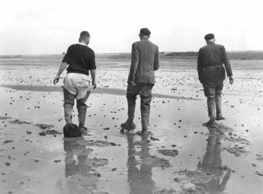
After the north-eastern polder workers proceeded with creating the eastern part of Flevoland. This polder was planned to give living space to people from the over-crowded Randstad. And that was an urgent task to accomplish: Urbanisation in Northern and Southern Holland had increased to such an extent by then that new land was needed for building residential and recreative areas. So soon after the eastern polder (1957) - which was created swiftly - the southern polder was created, too (1968). On 1st January 1986, Flevoland officially became the youngest and 12th province of The Netherlands.

Accept cookies to see this content.