This is the story of the water heritage of the Noordoostpolder. It tells the history of water management, with information about the dikes, pumping stations, locks, and the layout of the waterways. The unique character of many of these elements in the Noordoostpolder is often small and less conspicuous but holds great historical significance. For this reason, the Cultural Heritage Agency of the Netherlands (RCE) selected the Noordoostpolder as a post-war reconstruction area of national importance. This national recognition underscores the unique position of this polder in the history of Dutch polder development.
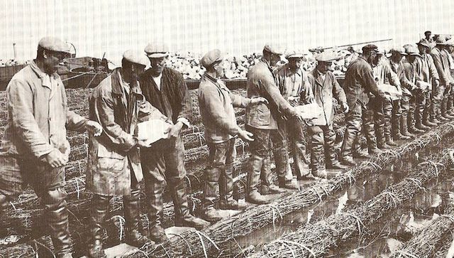
After the closure of the Zuiderzee, construction of the Noordoostpolder began in 1937. Three years later, the final gap in the 54-kilometre-long dike was closed. On 9 September 1942, the Noordoostpolder was officially drained.

Most of the Noordoostpolder lies below sea level, ranging from 1 metre to nearly 5 metres below NAP (Normaal Amsterdams Peil). To regulate water levels, a network of canals, ditches, waterways, weirs, and pumping stations has been constructed—this is the water management system in the Noordoostpolder. This system is part of the broader history of polders in the Netherlands, a history of land reclamation, organisation, and water management.

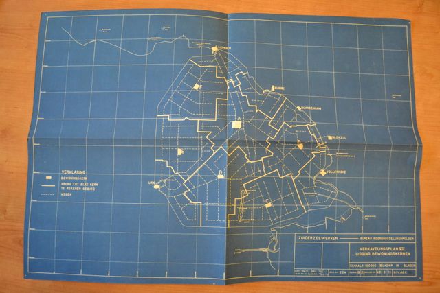
The Noordoostpolder was organised according to the 1936 Development Plan: with one central town, Emmeloord, surrounded by ten smaller villages within cycling distance and interconnected by various canals and waterways. This layout was designed because few people owned cars (making it essential for the villages to be within cycling distance of Emmeloord) and because much of the agricultural produce was still transported by ship.
