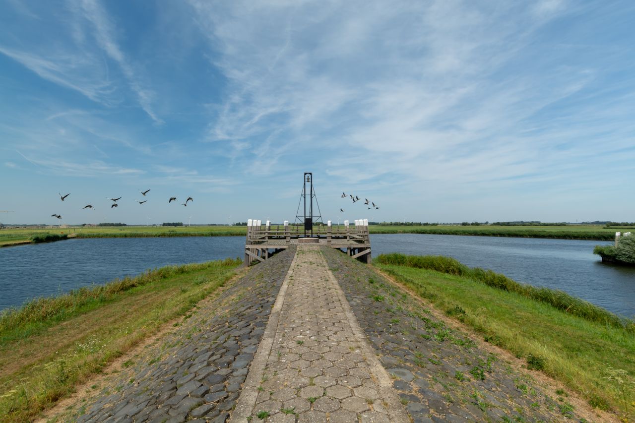
In the 15th century, a one and a half kilometres long canal was excavated at Elburg to connect the harbour of the fortified town with the Zuiderzee. Sited at the end was the ‘Kop van ’t Ende’; the former pier. When East Flevoland was drained to became a polder the old pier fell under the control of Dronten local council.
Landscape Art Riff, PD#18245
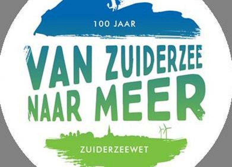
The landscaped artwork on the corner of Bremerbergdijk and Spijkweg marks 100 years of the Zuiderzee Act and the land reclamation. Creator, Dutch-Swiss artist Bob Gramsma, completed the artwork at the end of 2018.
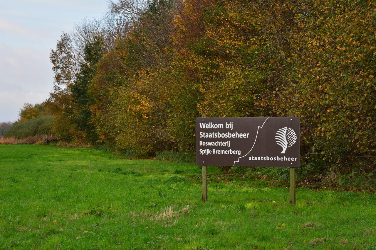
Spijkbos
The Spijkbos woods were named after the Spijkzand sandbank, which lay off the coast when it was still the Zuiderzee. Staatsbosbeheer, the Dutch Forestry Commission, planted more than 500 hectares of trees here between 1964 and 1966. The wide range of different trees encouraged a wealth of insects, amphibians and birds to breed here.
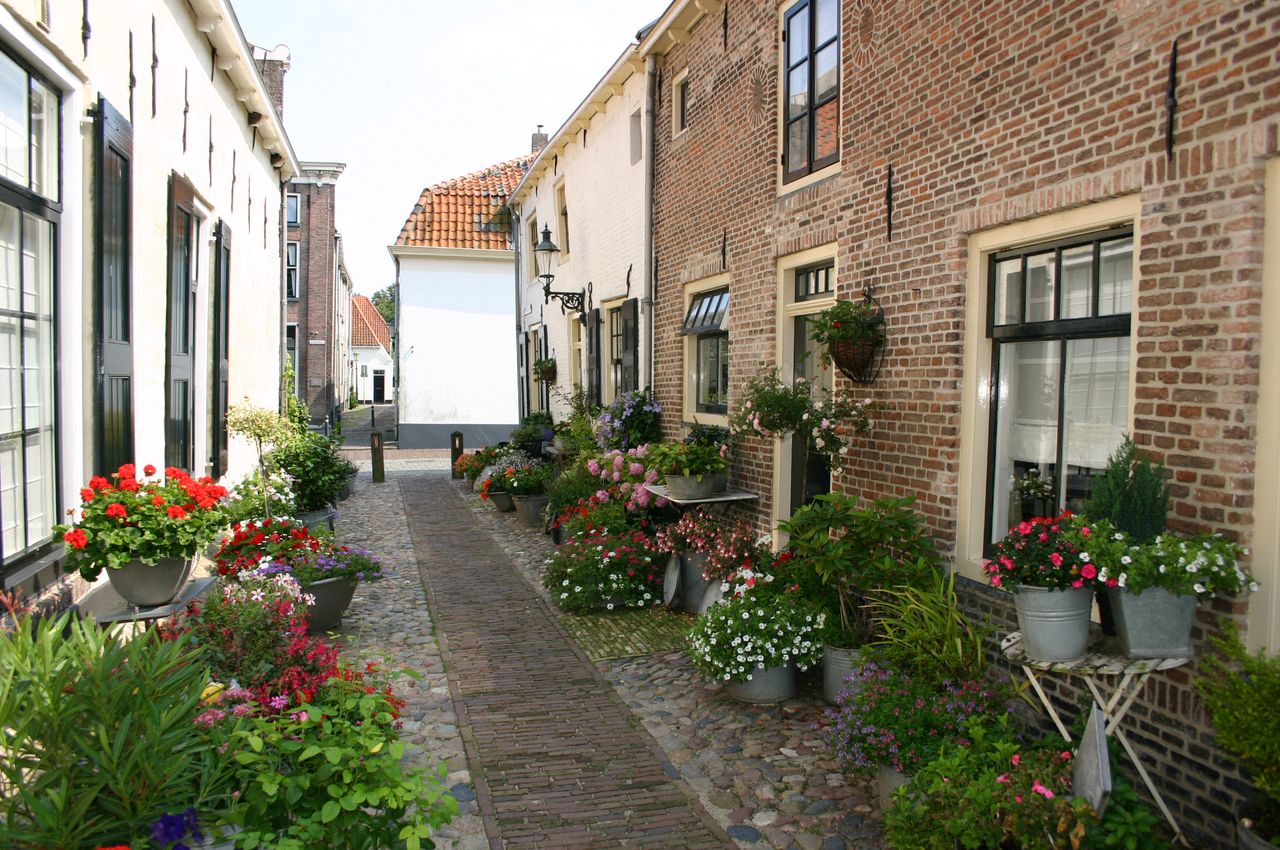
Elburg
In days gone by Elburg, which expanded as a ribbon development, was once a busy fishing and trading port on the Zuiderzee coast. The historic town of Elburg is principally known for its mediaeval fortress featuring a rectilinear street plan.
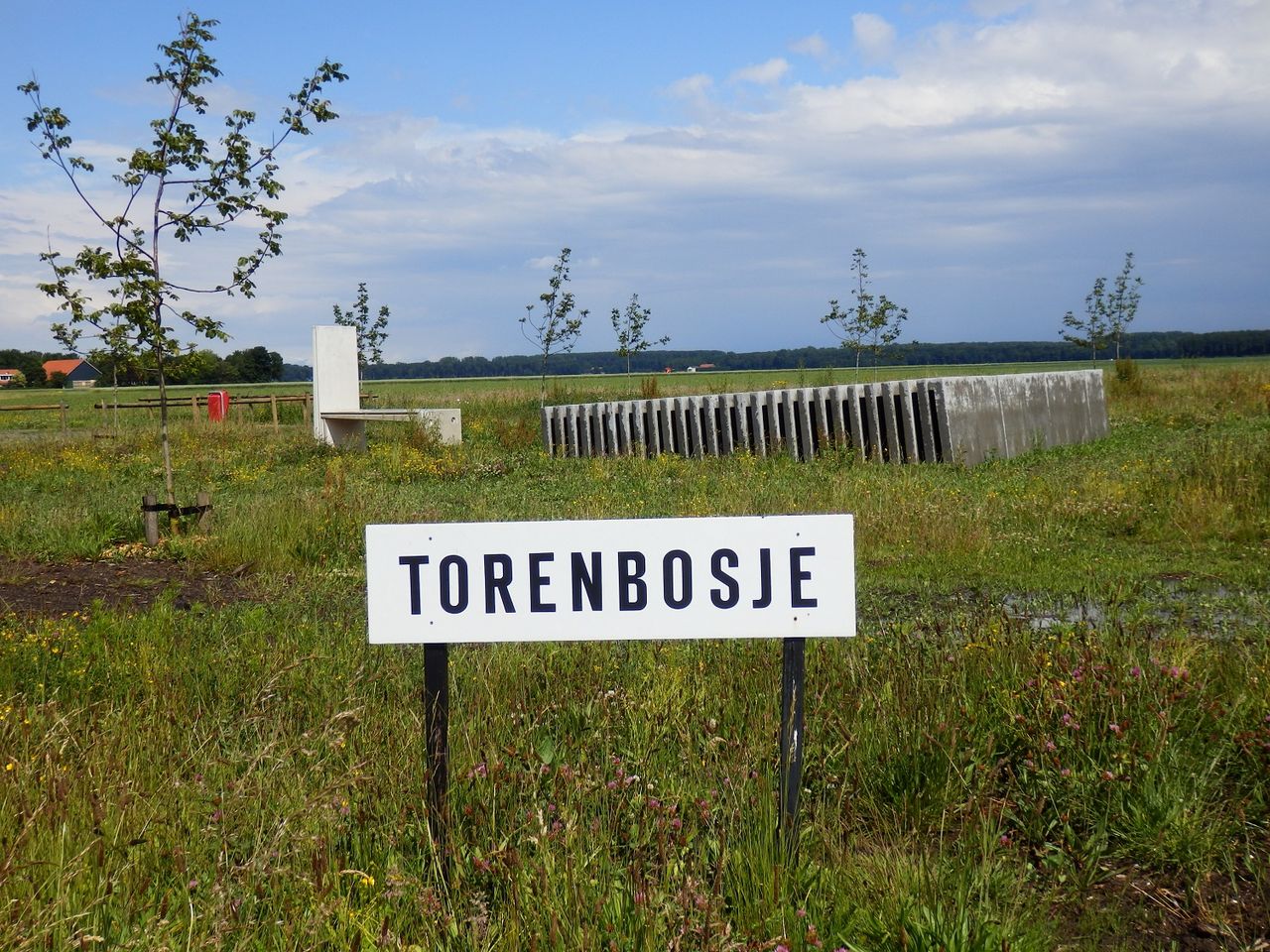
Torenbosje
Torenbosje (tower woods), almost seven hectares of woodland halfway between Dronten and Elburg, derived its name from the oil drilling rig that once stood here between 1965 and 1968. Torenbosje is an attractive area to the east side of Dronten dedicated to leisure and recreation.